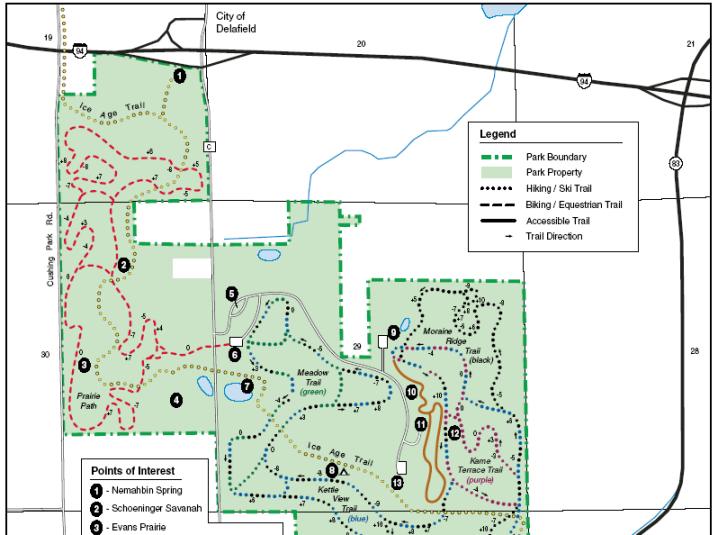
The Kettle Moraine and Lapham Peak were formed 10,000 years ago when a glacier covered much of Wisconsin. More than 1,000 acres of this hilly terrain are within the Lapham Peak boundaries. Lapham Peak has 21.2 miles of hiking trails, including a portion of the Ice Age National Scenic Trail.
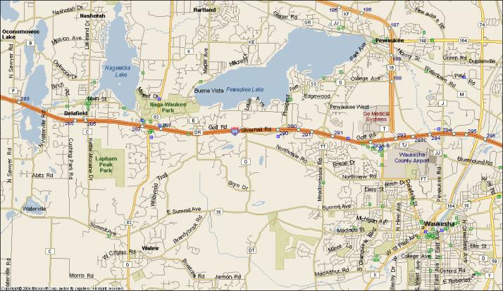
Lapham Peak is 25 miles west of Milwaukee and 1 mile south of Interstate 94 near Delafield, on County Highway C. Take Exit 285 off I-94, then head south on Co. Highway "C" for 3/4 miles to the park.
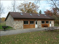
The gathering will be held at the Trecker Lodge which is located in the Homestead Hollow Area. There is a heated bathroom building at the parking lot. The building has electric heating, a water fountain, and a fireplace. Hopefully we won't need heat on a June day, but I figured a building would be a safe bet if it is chilly or rainy. Cross your fingers that we'll be out at the picnic tables instead!